
Phone: (336) 373-2489
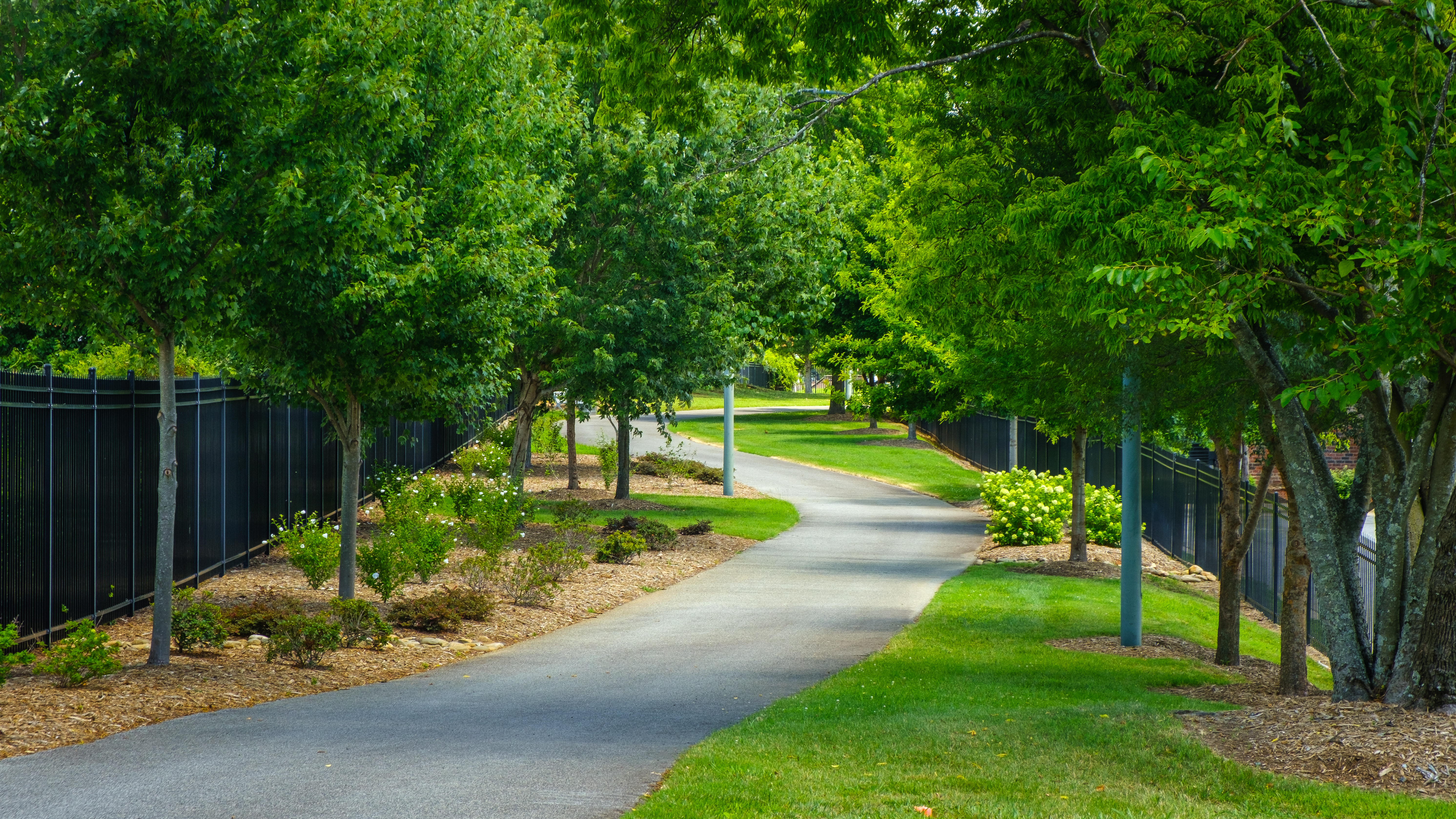
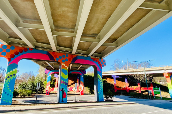
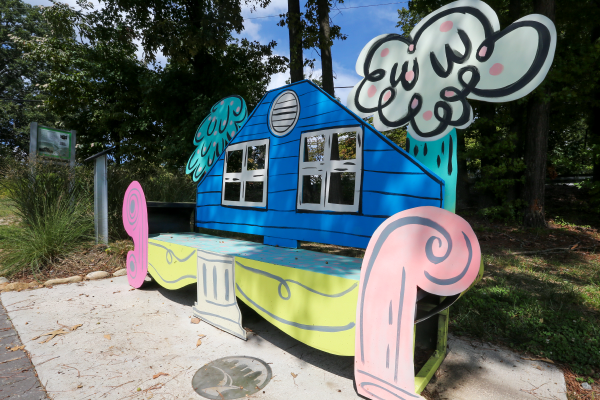
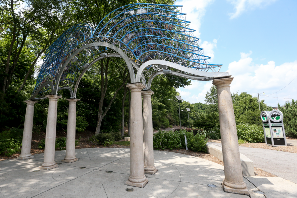
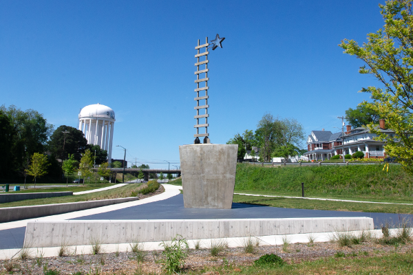
The Greensboro trail system is a network of natural and paved trails for walking, hiking, biking, or simply enjoying the outdoors. With more than 100 miles of trails, you can explore everything our community offers, from our award-winning public art along the Downtown Greenway to the serene hiking and mountain biking trails skirting our three city lakes.
Read our blog on Greensboro's Parks & Trails!
Read Our State Magazine's article about the Downtown Greenway and Atlantic & Yadkin Greenway
Explore Our Trails & Greenways:
Staying active is a way of life here in Greensboro. With more than 30 miles of dedicated hiking trails, Greensboro makes experiencing scenic views, getting exercise, and taking a break from the daily grind accessible to all!
1. Palmetto Trail:
Access Point:
- Parallel to the Nat Greene Trailhead on Old Battleground Road
Distance:
- 2.8-mile total loop
Intensity Level:
- Easy
Time to Complete:
- About 59 minutes
Additional Details:
- Dogs are allowed but must be on a leash
2. Nathaniel Greene Trail:
Access Point:
- Begins at Old Battleground Road
- The trail intersects Lake Brant Greenway & finishes at Lake Brandt Marina
Distance:
- 3.3 miles (6.6 roundtrip)
Intensity Level:
- Easy
Time to Complete:
- About 2 hours and 16 minutes
Additional Details:
- Dogs are allowed but must be on a leash
3. Piedmont Trail:
Access Point:
- Starts at Strawberry Road
Distance:
- 2.85 miles (5.7 miles roundtrip)
Intensity Level:
- Easy
Time to Complete:
- About 1 hour and 50 minutes
Additional Details:
- Dogs are allowed but must be on a leash
4. Peninsula (Crockett) Trail:
Access Point:
- Begins across Church Street from the Laurel Bluff Trail
- Follows a winding peninsula along the back waters of Lake Townsend
Distance:
- 1.2 miles (2.4 miles roundtrip)
Intensity Level:
- Easy
Time to Complete:
- About 45 minutes
Additional Details:
- One of six watershed trails designated as part of the North Carolina Mountains-to-Sea Trail
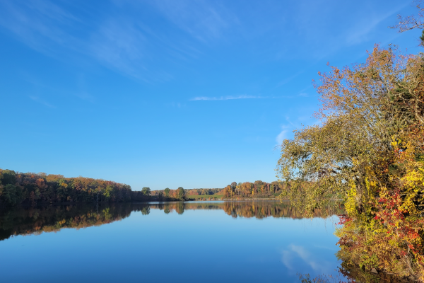
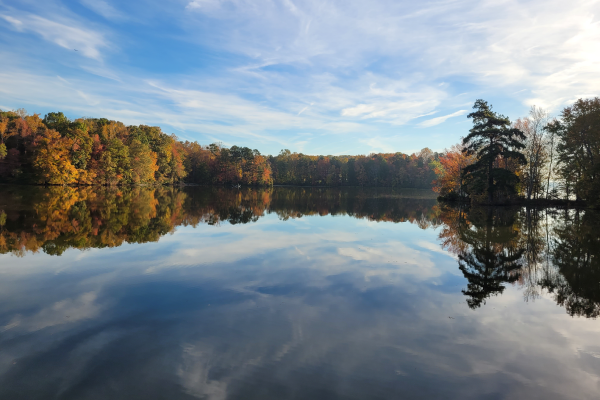
- This is a hiking only trail that is very popular during the fall for its amazing views of fall foliage across Lake Townsend
- Dogs are allowed but must be on a leash
5. Osprey Trail:
Access Point:
- Can be started off of Church Street or Yanceyville Road
Distance:
- 2.3 miles (4.6 miles roundtrip)
Intensity Level:
- Easy to Moderate
Time to Complete:
- About 1 hour and 27 minutes
Additional Details:
- The trail's namesake – the osprey - has been nesting along this trail for years
- One of six watershed trails designated as part of the North Carolina Mountains-to-Sea Trail system
- Dogs are allowed but must be on a leash
6. Townsend Trail:
Access Point:
- Yanceyville Road
- Ends at a small gravel parking lot on South Shore Road just west of Bryan Park
Distance:
- 3.6 miles (7.2 miles roundtrip)
Intensity Level:
- Easy to Moderate
Time to Complete:
- 2 hours and 24 minutes
Additional Details:
- Is the easternmost of six watershed trails designated as part of the North Carolina Mountains-to-Sea Trail
- Dogs are allowed but must be on a leash
- Is one of the longest hiking only trails in our system
- Plenty of wildlife and water views are visible while on this trail
7. West House Trail:
Access Point:
- Begins on the west side of Church Street, across the street, and just north of the southern end of the Peninsula Trail
- Ends at a historic home site known as the West House
Distance:
- 0.85 miles (1.7 miles roundtrip)
Intensity Level:
- Easy
Time to Complete:
- 34 minutes
More Details:
- Dogs are welcome but must be on a leash
8. Laurel Bluff Trail/Reedy Fork Loop:
Access Point:
- Starts on Church Street
- Ends on Lake Brandt Road
Distance:
- 7.4-mile loop
Intensity Level:
- Easy
Time to Complete:
- 2 hours and 25 minutes
Additional Details:
- Is one of six watershed trails that have been designated as part of the North Carolina Mountains-to-Sea Trail
- Has a wide variety of wildflowers, great views of the lake, plenty of signs of wildlife and a beautiful mountain laurel grove along Reedy Fork Creek
- Dogs are welcome but must be on a leash
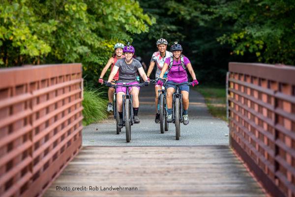
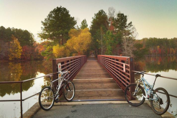
We have a good mix of well-maintained mountain biking trails within Greensboro’s parks and surrounding the City’s watershed Lakes. For trail updates/closure information, please call (336) 373-2MTB.
1. Bald Eagle Trail:
Access Point:
- Begins near the entrance to Lake Higgins on Hamburg Mill Road
- There is a small parking lot
Distance:
- 3.6 miles (7.2 miles roundtrip)
Intensity Level:
- Easy
Time to Complete:
- 2 hour and 14 minutes
Additional Details:
- Is one of the easiest mountain bike trails in the system
- Ideal for beginners but has features that make it interesting for more experience bikers
- Step up the intensity with the trail’s berms, bridges, and an optional wallride and a 1.14 miles intermediate loop – the Bald Eagle Aerie (located on the southwest side of Lewiston Road).
- Also suitable for hiking
- Winds around the shores of Lake Higgins with opportunities to view waterfowl with possible sightings of the trail’s namesake, a bald eagle
- Dogs are allowed but must be on a leash
2. Reedy Fork Trail:
Access Point:
- Starts at Lake Brandt Road
- Ends at Church Street
Distance:
- 3.2 miles (6.4 miles roundtrip)
Intensity Level:
- Easy to Moderate
Time to Complete:
- 1 hour and 58 minutes
Additional Details:
- For an easy ride – start at the Plainfield Road trailhead or connector west towards Lake Brandt Road
- For a more challenging ride – head east toward North Church Street
- Dogs are allowed but must be on a leash
- Popular with hikers also
- Enjoy scenic views of beautiful Reedy Fork Creek and the backwaters of Lake Townsend
- Exercise caution - this trail is prone to flooding due to the nearby spillway and dam
- If you’re looking for a longer ride – continue east onto Blue Heron Trail
3. Blue Heron Trail:
Access Point:
- Yanceyville Rd in Browns Summit
Distance:
- 5.8 miles total
Intensity Level:
- One of the easier mountain biking trails in Greensboro’s system
Time to Complete:
- 1 hour and 49 minutes
Additional Details:
- A fun, flowy trail that has many whoop-de-doos and some climbing but nothing extreme
- A few sections have some deep gullies and dips that add to the challenge of the trail
- Also popular with hikers
- If you’re looking for a longer ride, this trail connects to Reedy Fork and King Fisher trails
- Dogs are welcome but must be on a leash
4. Burl Oak:
Distance:
- 1 mile singletrack trail (2 miles total)
Intensity Level:
- The newest beginner trail (opened in 2022) in Greensboro’s system
Time to Complete:
- 11 minutes
Additional Details:
- A fun, flowy trail ideal for riders of all levels
- Dogs are allowed but must be on a leash
5. Wild Turkey Trail:
Access Point:
- Runs parallel to the Nat Greene Walking Trail and can be accessed from the Lake Brandt Greenway
Distance:
- 6.5 miles total
Intensity Level:
- A moderately challenging route
Time to Complete:
- 2 hours and 20 minutes
Additional Details:
- For an added challenge – the trail features a tight single track, moguls, sweeping berms, log pyramids, bridges, whoop-de-doos, som small climbs, and a big rock jump
- Connects with two other watershed trails: Owl’s Roost and Reedy Fork, plus the Atlantic and Yadkin Greenway
- Dogs are welcome but must be on a leash
6. King Fisher Trail:
Access Point:
- The entrance is just north of Lake Townsend on Yanceyville Road, across from the Blue Heron trail head.
Distance:
- 9.9 miles
Intensity Level:
- One of the easier trails with the option to continue onto Swan Song for some more intermediate fun with a few jumps, plenty of pumps, and berms
Time to Complete:
- 3 hours and 13 minutes
Additional Details:
- A newer fun, flowy single-track along the shores of Lake Townsend
- Swan Song can be ridden as a “lollypop lap” when accessed from the northern most part of the King Fisher Trail
- Dogs are allowed but must be on a leash
7. Keeley Park Beginner Trail:
Access Point:
- Keeley Park
Distance:
- 1.5-mile loop
Intensity Level:
- Perfect for those riding for the first time since it has minimal technical features
Time to Complete:
- 29 minutes
Additional Details:
- A fun, flowy trail located adjacent to the pump track
8. Swan Song Connector Trail:
Access Point:
- Accessed from the northern part of the Kingfisther Trail
Distance:
- About a mile
Intensity Level:
- Intermediate – the trail contains a few mumps, pumps, and berms – one drop has an alternate line available
Time to Complete:
- About a couple of minutes since it’s a connector trail
Additional Details:
- Swan Song ties directly into King Fisher and can be ridden as a “lollypop lap” when accessed from the northern part of the King Fisher Trail
9. Owl’s Roost Trail:
Access Point:
- Accessible from either Bur-Mil Park or the Lake Brandt Greenway
Distance:
- 5.4-mile loop
Intensity Level:
- Intermediate – has numerous technical features making it more difficult than other trails in Greensboro’s system
Time to Complete:
- 1 hour and 52 minutes
Additional Details:
- One of the region’s most popular hiking and mountain biking trails
- Voted the “best urban mountain biking trail” in the country by Bicycling Magazine
- The trail features dips, twists, turns, and hops making it a favorite for single-trac riding
- One of six watershed trails designated as part of the North Carolina Mountains-to-Sea Trail
- Dogs are welcome but must be on a leash
10. Copperhead Trail:
Access Point:
- Country Park/Jaycee Park
- Trailhead parking at Lewis Recreation Center
Distance:
- 3.2-mile loop
Intensity Level:
- Intermediate – dips and twists through the wooded areas of Country Park
Time to Complete:
- 1 hour and 10 minutes
Additional Details:
- The trail can be ridden in either direction
- Counter-clockwise from the Lewis Recreation Center trailhead makes for the most downhill fun and flow
- Go clockwise for more technical climbing
- Dogs are welcome but must be on a leash
11. Squirrel Creek:
Access Point:
- Yanceyville Road
Distance:
- About a mile
Intensity Level:
- Intermediate
Time to Complete:
- 6 minutes
Additional Details:
- Is one of the newer trails in the system
- Features rock walls and lots of fun, flowy single track
- For a less technical but equally fun route, take a left onto the Flying Squirrel when the trail splits coming from Doggett Road
- Dogs are allowed but must be on a leash
BIKE SKILLS PARKS:
1. Keeley Park Pump Track:
- Features two tracks of continuous dirt loops of rollers and berms
- Gets its name from the pumping motion that the cyclist uses to navigate around the track without pedaling
- A low-risk opportunity due to the flat nature of the course
- Speed is limited by your skill level, making it safe and enjoyable for all ages
2. The Zone at Country Park:
- “The Zone” features jumps, perms, rhythm, and whoop sections
- Intermediate and advanced riders only
- Helmets are required
1. Atlantic & Yadkin Greenway
Access Points:
- The northern most part of the greenway has a trail head parking lot, just north of Strawberry Road.
- Bur-Mil Park (Parking, information, and maps are available at the Frank Sharpe Wildlife Education Center)
- The Guilford Courthouse National Military parking lot on Old Battleground Road near the intersection of New Garden Road
- Lewis Recreation Center
- Country Park
Distance:
- 7.5 miles
Accessibility:
- Can be reasonably accessed by someone using a mobility device on its Asphalt surface
Traffic:
- A multiple-use trail - bicycles are allowed and encouraged
Amenities:
- Bur-Mil Park & Country Park
Connections:
- A&Y users can take a detour off the greenway onto the Nat Greene Trail, Palmetto Trail, or Owl’s Roost Trail. Users can also access the Big Loop Trail and Little Loop Trail in Bur-Mil Park from the greenway. The Bicentennial Greenway intersects the A&Y at the Old Battleground and Lake Brandt road intersection as a sidewalk. From there it continues on via sidewalk along Old Battleground to the continuation of the Bicentennial Greenway as an asphalt trail at the old train trestle bridge.
- Future Connections:
- The A&Y will eventually extend to downtown Greensboro and connect with the Downtown Greenway to complete a route from downtown Greensboro to Summerfield, NC.
Additional Details:
- Formerly known as Lake Brandt Greenway, Battleground Rail Trail, and Bicentennial Greenway, this corridor was constructed on the abandoned Atlantic-Yadkin (A&Y) railroad bed.
- Its new name reflects the greenway's past as an active railway from Mount Airy to southeast Sanford, NC
2. The Downtown Greenway:
Access Points:
- Parking for the greenway is available at:
- Prescott streets for the Tradition Cornerstone
- Lindsay and Cumberland streets for the Innovation Cornerstone
- Eugene and Bragg Street at Five Points
- Accessible trailhead parking at Morehead Park
Distance:
- 3 miles
Accessibility:
- Can be reasonably accessed by someone using a mobility device
- Accessible trailhead parking area at 475 Spring Garden Street at Morehead Park
Traffic:
- A multiple-use trail - bicycles are allowed and encouraged
Amenities:
- Public Art
Additional Details:
- When complete, this greenway will create a four-mile loop around the heart of downtown and connect not only other trails and greenways but businesses, universities and neighborhoods
- A collaborative project supported not only by the City and state through grants and bonds, but also through many community organizations and individuals
3. Lake Daniel Greenway:
Access Points:
- The western trailhead is located on West Friendly Avenue, just east of the Wendover Avenue overpass and adjacent to Wesley Long Community Hospital
- The eastern trailhead is located at the intersection of East Lake Drive and Mendenhall Street
- Parking for the greenway is available at Mimosa Drive and on East Lake Drive
Distance:
- 2 miles
Accessibility:
- Can be reasonably accessed by someone using a mobility device on its Asphalt and its concrete surfaces
Traffic:
- A multiple-use trail - bicycles are allowed and encouraged
Amenities:
- Restrooms, Trail Fitness Stations, Tennis, Volleyball, Basketball, Playground, TRACK Trails Program
Connections:
- Provides a paved multi-use route that, when incorporated with the Latham Park Greenway, connects Friendly Shopping Center to the downtown area.
- Lake Daniel Park and Latham Park are linked by the Hill Street Connector Trail that incorporates sidewalk and a paved path parallel to Hill Street.
Additional Details:
- Located in Lake Daniel Park
4. Bicentennial Greenway:
Access Points:
- Can be accessed just north of the Guilford Courthouse National Military Park parking lot on Old Battleground Road
- Travels northwest along Old Battleground Road and then changes direction southwest through wooded open space
- Cross Battleground Avenue and take the sidewalk along Drawbridge Parkway to Kernodle Middle School
- Follow the trail signs across the road into the woods to its current terminus near Horse Pen Creek Road
- The new sections can be accessed from Guilford Elementary School and the Leonard Recreation Center
Distance:
- 14.5 miles
Surface:
- Asphalt / Gravel
Traffic:
- A multiple-use trail - bicycles are allowed and encouraged
Connections:
- From the intersection of the Bicentennial Greenway and Lake Brandt Road in Greensboro, you can connect to the A&Y Greenway leading out to Bur Mil Park
- The Nat Green Trail and Palmetto Trail are also accessible from the greenway (see map below for details)
- Guilford Courthouse National Military Park trails are accessible from the Bicentennial Greenway with parking available on Old Battleground Road
Additional Details:
- Is a regional trail running through Guilford County, Greensboro, and High Point
- Developed/managed by Guilford County
- About 8 miles of the northern section runs through the City
- An additional seven miles run from the Piedmont Environmental Center to Highway 68 in High Point
- Entities from the three jurisdictions are working on a plan to complete the missing segment between Greensboro and High Point
- When complete, the Bicentennial will provide an almost 20 mile greenway that connects the City of High Point to the City of Greensboro
5. Greenhaven Greenway:
Access Points:
- Turn west onto Mystic Drive from Randleman Road and south onto Lynhaven Drive
- Roadside parking available
Distance:
- 0.63 miles
Surface:
- Concrete
Traffic:
- A multiple-use trail - bicycles are allowed and encouraged
Amenities:
- Greenhaven Park’s Playground
Connections:
- Greenhaven Greenway parallels Ryan Creek, connecting to Shannon Greenway across Vandalia Road
- There is also sidewalk that connects to the trail along West Vandalia Road
6. Hillsdale Greenway:
Access Points:
- Parallels Meadowview Road on the north side of Interstate 40, beginning at Urban Drive
- The trail then crosses Meadowview and continues along Hardie Street and west along Murrayhill Road, ending back on Meadowview Road
- Roadside parking is available at most points along the trail
Distance:
- 1.0 mile
Surface:
- Concrete
Traffic:
- ·A multiple-use trail - bicycles are allowed and encouraged
Amenities:
- Playground
Connections:
- The Hillsdale Greenway does not connect to an existing sidewalk
- However, a sidewalk connection is planned, which will connect the greenway to an existing sidewalk along Vanstory Street, providing pedestrian access to Four Seasons Mall
7. Latham Park Greenway:
Access Points:
- Accessible on Hill Street, just north of Battleground Avenue and Green Hill Cemetery, with parking available
- The other trailhead, north of Moses Cone Hospital on the west side of North Elm Street, is accessible to pedestrians only
- Access is also possible from Cridland Road, north of Wendover Avenue, where roadside parking is available
Distance:
- 1.2 miles
Surface:
- Concrete
Traffic:
- A multiple-use trail - bicycles are allowed and encouraged
Amenities:
- Latham Park Greenway winds through Latham Park parallel to North Buffalo Creek
- There are tennis facilities, basketball courts, and Little League baseball fields available in the park
- This paved multi-use path features 20 fitness stations
- The fitness trail section starts at the intersection of Wendover Avenue and Cridland Road and extends northeast to the North Elm Street trailhead
Connections:
- Latham Park Greenway provides a paved multi-use route that, when incorporated with the Lake Daniel Greenway, connects Moses Cone Hospital and the downtown area to Wesley Long Hospital and the Friendly Shopping Center
- Latham Park and Lake Daniel Park are linked by the Hill Street Connector Trail, which incorporates sidewalk and a paved path parallel to Hill Street
8. Northeast Community Trail:
Access Points:
- Parking is available on Rankin Mill Road, north of the intersection with Huffine Mill Road
- Located on Nealtown Road across from Nealtown Park, the western trailhead has pedestrian access only
Distance:
- 1.2 miles
Accessibility:
- Can be reasonably accessed by someone using a mobility device on its Asphalt and its concrete surfaces
Traffic:
- A multiple-use trail - bicycles are allowed and encouraged
Connections:
- This beautiful 1.2-mile greenway is the first link in a proposed trail that will eventually connect Latham Park to Keeley Park in northeast Greensboro
Additional Details:
- Planning and construction of the greenway was funded in part by a North Carolina Parks and Recreation Trust Fund grant
- The 1.2 miles of greenway provide the community with recreational opportunities on a beautifully-landscaped trail in northeast Greensboro
9. Rolling Roads Greenway:
Access Points:
- Rolling Roads Park is located south of Hillsdale Park between Cheltham Blvd. and Bridgett Blvd, just off Four Seasons Blvd.
- The greenway begins at Bridgette Boulevard in the east and travels parallel to the street until it ends near Cezanne Drive
- Roadside parking is available
Distance:
- 0.62 miles
Surface:
- Concrete
Traffic:
- A multiple-use trail - bicycles are allowed and encouraged
Amenities:
- Rolling Roads Park
- Two small playgrounds
Connections:
- The Rolling Roads Greenway connects to the sidewalk that parallels Four Seasons Blvd allowing pedestrian access to Four Seasons Mall
10. Shannon Hills Greenway:
Access Points:
- Begins just north of Glendale Drive
- Ends at Vandalia Road
- Roadside parking is available, but please use caution
Distance:
- 1.15 miles
Surface:
- Concrete
Traffic:
- A multiple-use trail - bicycles are allowed and encouraged
Connections:
- Runs along Ryan Creek, connecting to Greenhaven Greenway across Vandalia Road
- Links Shannon Woods Park and Shannon Hills Park
- There is also a sidewalk that connects to the trail along West Vandalia Road
11. Southeast Greenway:
Access Point:
- Can be accessed from Sussman Park where parking is available on the street
Distance:
- 1.2 miles
Surface:
- Asphalt
Traffic:
- A multiple-use trail - bicycles are allowed and encouraged
Connections:
- Constructed in 2013, now links the Downtown Greenway to Sussman Park
- Connects to the Downtown Greenway near the Freeman Mill off ramp and Lee Street
- Was made possible through 2008 Parks and Recreation Greenway Bonds
The Keeley Park Adaptive Mountain Bike Trail
The Keeley Park Adaptive Mountain Bike Trail – which is about two-miles long and provides four “Experience Zones,” offering beginner, intermediate, and advanced lines for rider progression – is the first in the department’s trail system intentionally designed for adaptive mountain biking equipment, which is wider, longer, and heavier than two-wheeled bikes. The trail will offer people of all abilities the opportunity to access the physical, mental, and emotional benefits of mountain biking. The trail will be open to all users.
The project was developed in partnership with the VF Foundation and Greensboro Parks Foundation, and the adaptive bikes were provided through a Dralla Foundation grant.

